GBM Blog
Participatory GIS Mapping in Kirisia Forest, Samburu County
Kirisia forest is a 92,000 hectares (ha) forest reserve in the Samburu heartland teaming with different plant and animal species. It is not only a home for the wildlife but also provides livelihoods and cultural meaning for the Samburu people who depend on it for wild product harvesting, such as honey, and as a sacred ground for cultural practices. The future of this forest is threatened by increasing poverty and a lack of support for community governance allowing unsustainable practices such as commercial charcoal production.
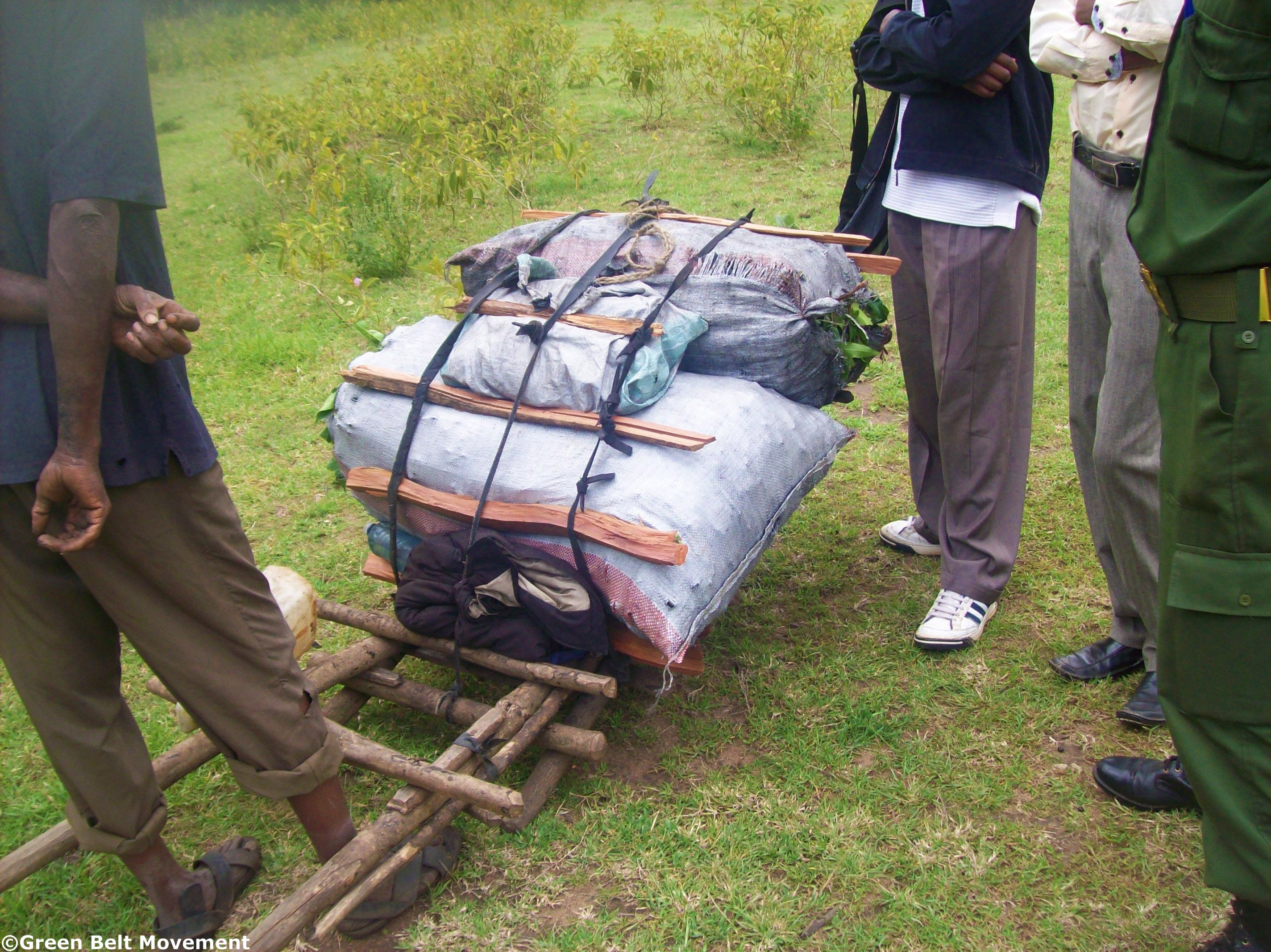
Past community efforts to restore the forest have been hampered by inadequate resources for forest restoration skills. With no management measures in place, the essential functions of this ecosystem are being destroyed and impacting hugely on the community who depend on it. This is the reason why the Green Belt Movement (GBM) through funding by Prince Albert II of Monaco Foundation, Yves Rocher foundation and The Schooner Foundation has embarked on an ambitious community lead project to rehabilitate the forest, empower the community and help to improve livelihoods for the Samburu people.
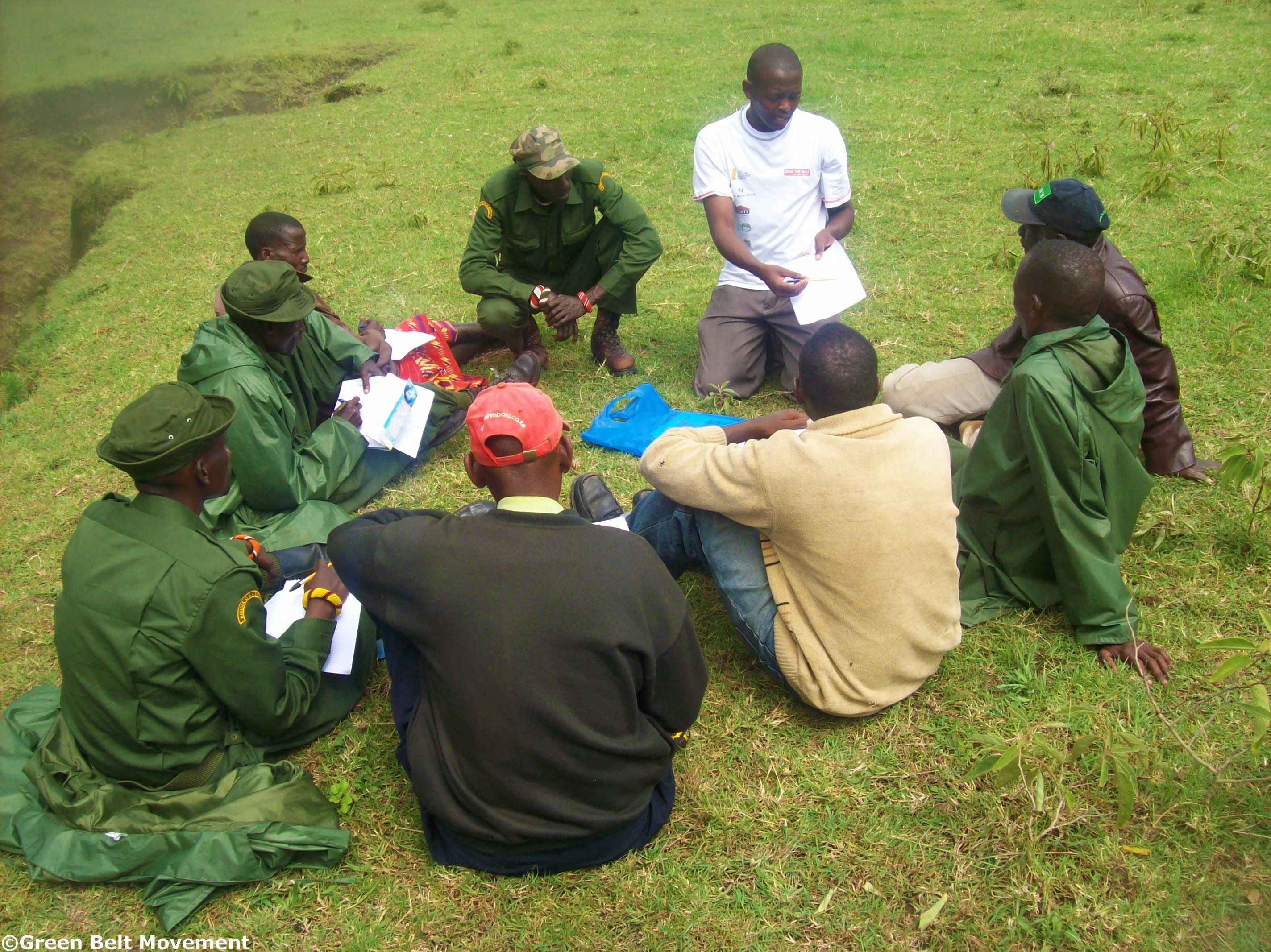
The Kirisia forest is one of Kenya’s water towers. GBM has incorporated the Kirisia Forest ecosystem in its adoption of watershed-based approach in conservation of Kenya’s water towers. Twenty-seven (27) green volunteers (GVs) from the community were chosen to help monitor and report the progress of GBM activities across the forest stretch. Due to the uneven distribution of GVs, attributed to the uneven settlement pattern along the forest boundary, Community Forest Association (CFA) scouts assist in monitoring forest activities in the region.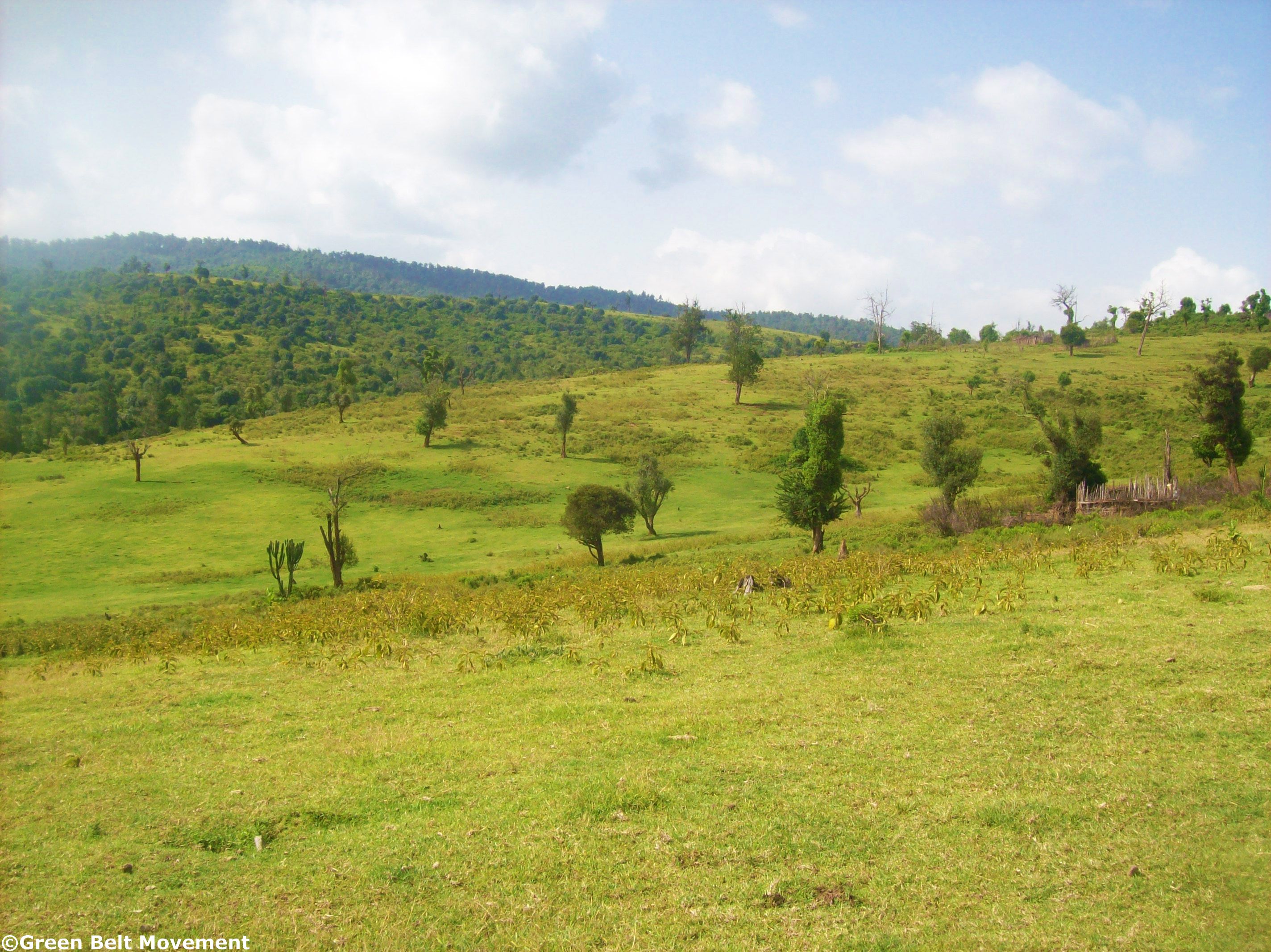
For purposes of monitoring activities in Kirisia forest, GBM undertook capacity building for the GVs so as to equip them with basic Global Positioning System (GPS) and mapping skills (Participatory Geographic Information Systems GIS). The overall purpose of the exercise was to enable the GVs to map activities in and around the forest. This enables identification of the area each GV will monitor during the project timespan- so they can map out the forest blocks that they will oversee and interpret mapping.
During the exercise, 16 GVs were trained on how to use GPS for mapping, monitoring and reporting of various incidences including: cutting down trees, forest fires, charcoal burning hotspots, bee keeping, wildlife corridors, and agroforestry practices, among others. The GVs were trained on how to interpret maps and how to determine various location-based features on paper maps using a GPS unit.
At the end of the exercise, the GVs mapped out six forest blocks namely: Siraata, Bhola, Karantini, Musenya, Nagwenyi and Suen as the priority project implementation areas. Despite low literacy levels in Samburu County, 13 out of 16 trained GVs were able to undertake the exercise without any further assistance from the GIS team.
Thanks to the project supporters, Green Volunteers and community members in Kirisia Forest are now able to embrace and appreciate the help of the geospatial technology in forest monitoring and protection.
Blog Archives
- December 2023 (1)
- December 2021 (1)
- November 2021 (3)
- October 2021 (2)
- April 2021 (1)
- March 2021 (3)
- February 2021 (1)
- January 2021 (4)
- March 2020 (3)
- February 2020 (1)
- November 2019 (1)
- September 2019 (5)
- May 2019 (2)
- November 2018 (2)
- September 2018 (4)
- June 2018 (2)
- April 2018 (1)
- February 2018 (1)
- September 2017 (1)
- July 2017 (2)
- June 2017 (1)
- May 2017 (1)
- April 2017 (2)
- March 2017 (1)
- November 2016 (2)
- October 2016 (1)
- August 2016 (4)
- July 2016 (2)
- June 2016 (4)
- May 2016 (2)
- April 2016 (2)
- March 2016 (1)
- January 2016 (3)
- December 2015 (3)
- November 2015 (1)
- October 2015 (1)
- September 2015 (1)
- August 2015 (1)
- July 2015 (2)
- June 2015 (3)
- May 2015 (1)
- April 2015 (2)
- March 2015 (3)
- February 2015 (2)
- January 2015 (1)
- December 2014 (3)
- November 2014 (3)
- October 2014 (3)
- September 2014 (2)
- August 2014 (4)
- July 2014 (3)
- June 2014 (4)
- May 2014 (2)
- April 2014 (3)
- March 2014 (7)
- February 2014 (2)
- January 2014 (3)
- December 2013 (1)
- November 2013 (4)
- October 2013 (3)
- September 2013 (5)
- August 2013 (2)
- July 2013 (3)
- June 2013 (3)
- May 2013 (2)
- April 2013 (4)
- March 2013 (2)
- February 2013 (5)
- January 2013 (3)
- December 2012 (2)
- November 2012 (2)
- October 2012 (2)
- September 2012 (2)
- August 2012 (3)
- July 2012 (4)
- June 2012 (4)
- May 2012 (2)
- April 2012 (2)
- March 2012 (3)
- February 2012 (2)
- January 2012 (2)
- December 2011 (7)
- November 2011 (1)
- October 2011 (2)
- September 2011 (3)
- August 2011 (3)
- July 2011 (4)
- June 2011 (3)
- May 2011 (1)
- April 2011 (3)
- March 2011 (3)
- February 2011 (2)
- January 2011 (1)
- December 2010 (9)
- November 2010 (2)
- October 2010 (1)
- September 2010 (2)
- August 2010 (2)
- July 2010 (1)
- June 2010 (5)
- May 2010 (3)
- April 2010 (4)
- March 2010 (2)
- February 2010 (1)
- January 2010 (2)
- November 2009 (1)
